3D Drone Mapping of a Nuragic Archaeological Site in Sardinia
by Samuele Lilliu | 10 April 2018
Overview and tutorial of 3D done mapping techniques for archaeological surveys including a short documentary on the Nuraghe s’Uraxi (Lasplassas, Sardinia).
- Client: Local Authority
- Budget: £6500
- Location: Las Plassas (Sardinia)
- Featuring: Giorgio Murru
- Producer: Samuele Lilliu
- Director of Photography: Samuele Lilliu
- Camera operator: Samuele Lilliu
- Editor: Samuele Lilliu
- Crew: Samuele Lilliu, 3 local helpers
- Gear:
Production
This video details our visit to the Nuraghe s’Uraxi (Lasplassas, Sardinia) and an overview and tutorial of 3D done mapping techniques for archaeological surveys. We generated a series of 3D maps of the building using aerial photos from a DJI Phantom 1 drone with an X5R camera mounting a standard 15mm lens and with the help of an app called DroneDeploy. I will walk you through the mapping process and also discuss how aerial photography can be a great tool for archaeological surveys. Extra gear: DJI Inspire 1 raw (Zenmuse X5R camera with DJI MFT 15mm f/1.7 lens), DJI Osmo handle + Z-axis.
Filming documentaries on archaeology can be an important way to share and preserve the history and culture of ancient civilizations. These video productions can help educate the public on the history and culture of ancient civilizations and the importance of preserving cultural heritage. By showcasing the work of archaeologists and the discoveries they make, documentaries can help increase awareness and understanding of the past.
Archaeological documentaries can also play a role in the preservation of cultural heritage. Archaeological sites and artifacts can be vulnerable to damage and destruction due to natural disasters, looting, and development. These films can help raise awareness of the importance of preserving these sites and artifacts and the role they play in our understanding of the past.
Documentaries can make the work and the discoveries of archaeologists more accessible to the general public and peer researchers. Many people may not have the opportunity to visit archaeological sites in person, but documentaries can bring these sites and their stories to a wider audience.
Filming documentaries on archaeology can also have an economic impact by attracting tourists to the locations where the documentaries are filmed. This can help support local economies and communities and encourage the preservation of these sites for future generations.
Overall, filming documentaries on archaeology can be an important way to share and preserve the history and culture of ancient civilizations. They can help educate the public, raise awareness of the importance of preserving cultural heritage, and showcase the rich history and cultural diversity of different societies.
Overview
Our relatively short trip starts from the town of Barumini, known for the UNESCO archaeological site Su Nuraxi. Last year we did a tour around several nuraghi in the territory of Barumini and here I’ll discuss a potentially very large, not yet excavated, nuraghe, which might also be surrounded by village ruins.
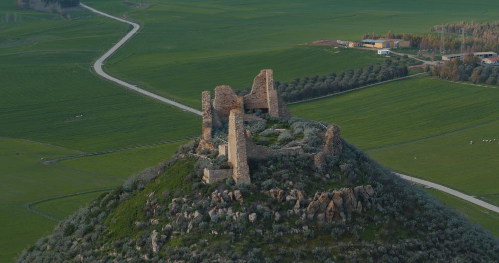
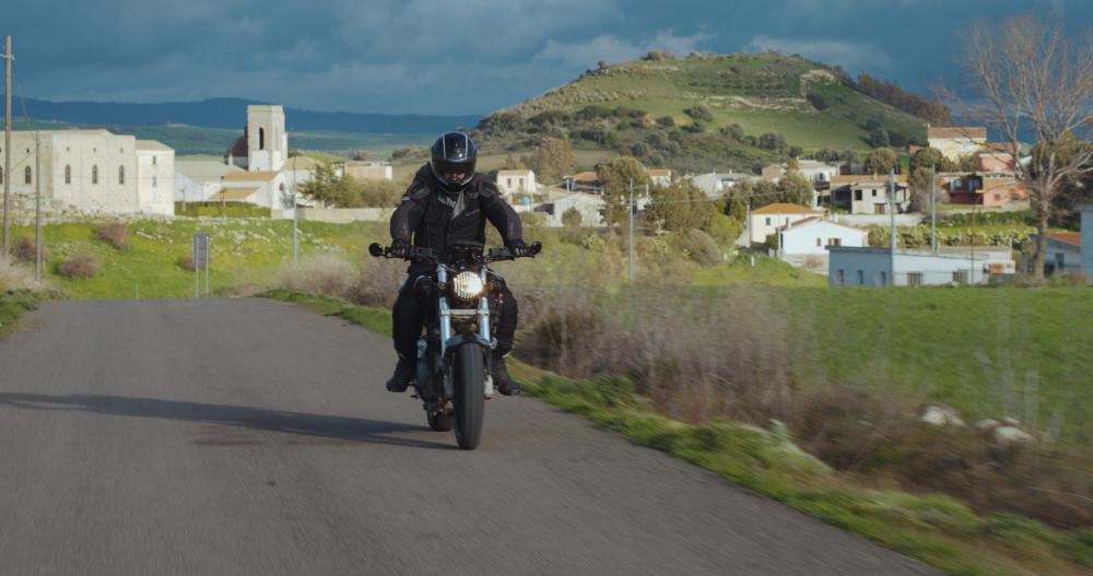
After only 3 Km drive from Barumini, we reach Lasplassas, which is the ideal centre of the Marmilla region. The town is known for its castle, which was built on a conic hill, probably around the 10th century. The castle belonged to the Giudicato di Arborea, when Sardinia was an independent state, and its function was mainly defensive.
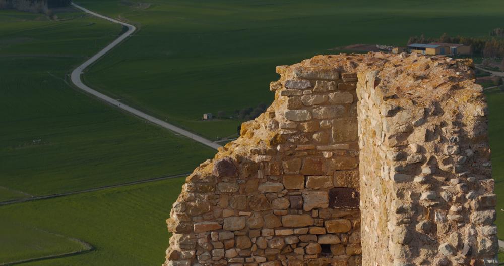
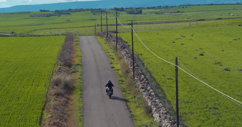
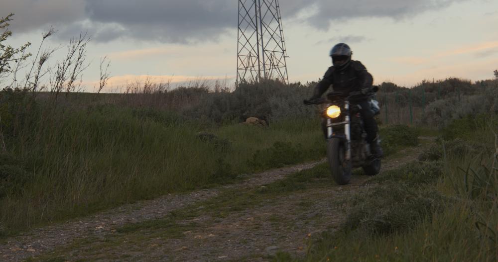
From Lasplassas we take a dirt road towards south west and reach the nuraghe s’Uraxi after 10 minutes. This nuraghe has not been excavated yet, so we thought it would have been very interesting to take some shots from above.
In the past years there has been a kind of revolution in archaeology, virtually allowing archaeologists to see through the ground without digging. In this sense, drones are particularly interesting. In fact with a drone you can take multiple image from different locations and then stitch these images together to create a huge georeferenced map.
Obviously the best solution to have an idea of what is buried underground would be to use advanced tools such as multispectral cameras or ground penetrating radars (GPR). However, you can still retrieve some information using a standard RGB camera. Soils define how plants grow and can be affected by man-made features that are buried underground. Variations in the density and the colour of the vegetation are often referred as cropmarks.
To generate this large picture of the site we used a trial version of the DroneDeploy app. This app helps the drone raster scanning the area and then collecting hundreds of pictures, which are georeferenced. These images can be then uploaded to the DroneDeploy servers, which are then merged into a massive geoTiff, in this case, with a resolution of about 2cm per pixel.
It is also possible to generate a 3D model. However, to do so, you will need to collect more images from different angles. The images are stitched together by the DroneDeploy software and then can be visualized from the DroneDeploy website. You can also download a 3D model.
Another map that can be extracted is the NDVI or Normalized Difference Vegetation Index (NDVI). NDVI is used to assess the plant health and can also highlight the presence of cropmarks. However for NDVI you will need a NIR camera. A similar index that however works on the RGB channels is called VARI and again can give an idea of the presence of cropmarks.
As you can see there are areas suggesting the presence of structures underneath. We cannot be sure on the nature of these structures, which could be rocks as well as walls.
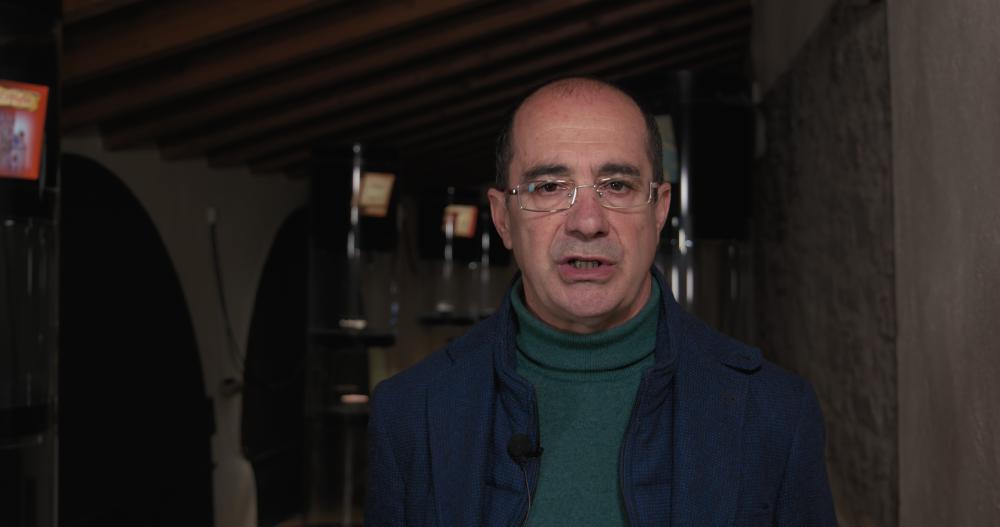
So we decided to show this data to one of the most prominent archaeologists in Sardinia. We met with Giorgio Murru at the museum of LasPlassas called MudA.
“Nuraghes are ancient megalithic stone towers. They were built during the Bronze Age (1500-1200 BC) without mortar and were held erect by the sheer weight of their roughly shaped stones.”, said Murru.
After showing him the aerial photos of the nuraghe s’Uraxi we asked him to comment on the architecture and on the age of this site.
“We know that this is a large nuraghe made of several towers, a complex nuraghe. These towers will need to be carefully studied after the excavation. This nuraghe was probably built between the Intermediate Bronze Age and the beginning of the Late Bronze Age.”, Murru added.
We then asked him to comment on the variations in the density of the vegetation in this site and the presence of positive or negative cropmarks.
“These elements are fundamental for understanding the presence of potential walls or building remains, such as huts surrounding the nuraghe. We should also consider that this hill is made of marlstone and that this calcite soil can influence the vegetation. The rock used for the construction of s’Uraxi is a Miocene marlstone, also in the arenaceous variants, which characterise not only this nuraghe but also other nuraghi in the Marmilla region.”
“It is always difficult to know exactly what the function of the nuraghi was. Today, we should think of nuraghi as part of a system. We cannot isolate them. We should see them as part of the territory, where each of them could have had its own function. The location of s’Uraxi can be considered as sort of lockout post controlling a penetration route from the river to an hilly upland.”
We then asked him to comment on the positive outcomes of an excavation of such a large site.
“An archaeological excavation is always science. Science should give answers. It should add important elements to people’s history. I believe that when communities become aware of their history, they can turn this into an economical benefit, because this means social and cultural growth, along with the possibility of investing in the future.”
Overall, this has been a great and enriching experience, especially after discussing with Dr. Murru.
Bullaki is a digital marketing agency focussing on video productions for science and technology.
